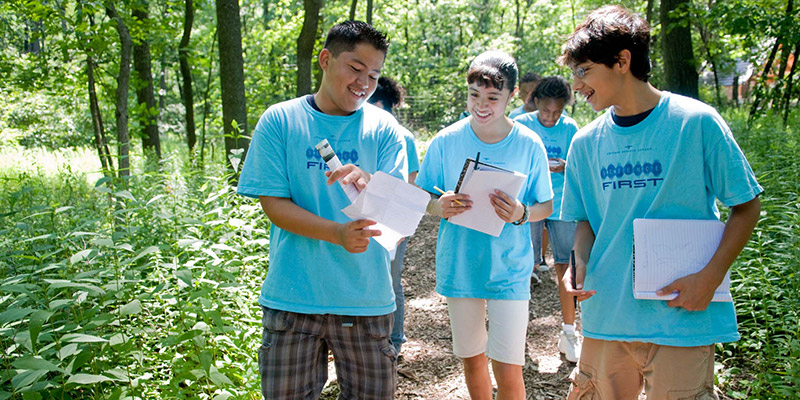
In partnership with The Nature Conservancy, we are working to harvest and map open-sourced community science data submitted through Budburst and iNaturalist applications in Cook and Lake Counties (Illinois), as well as existing collections data from local herbaria and animal collections. This project has two major goals: determining how (1) the ecological community context (e.g. proximity to natural areas or open space, land management, percent tree cover, etc.) and (2) the human community context (particularly socioeconomic differences, historically red-lined communities, etc.) affect patterns of plant and animal biodiversity and participation in community science related to biodiversity mapping. (Taddeo, Havens, Oschrin)

