
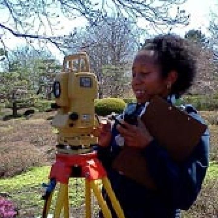
Veronica Harry-Jackson serves as the Geographic Information System (GIS) Specialist at the Chicago Botanic Garden. She is responsible for the creation and maintenance of over 2,306 bed plant maps representing 2.6 million plants. Veronica utilizes the traditional surveying equipment, Total Station, and Global Positioning Systems (GPS) Receivers to survey the plants and infrastructure. For new garden areas, digital data is acquired from the landscape architect to update the base map. Plant maps are generated within Environmental Systems Research Institute (ESRI) ArcGIS software utilizing a base map in AutoCAD format and Microsoft Access / SQL plant database. This process includes formulating database queries for selecting the beds, symbolizing and labeling the plant maps. She creates custom maps, some complex in nature with maps and data from government agencies, used for staff publication, intern poster projects, support grant request and also maintains the location data for the Garden Guide App. She serves on the Information System Advisory Committee. She supervises and trains volunteers who assist her with the mapping process and mentors College First and Research Education for Undergraduates (REU) interns.
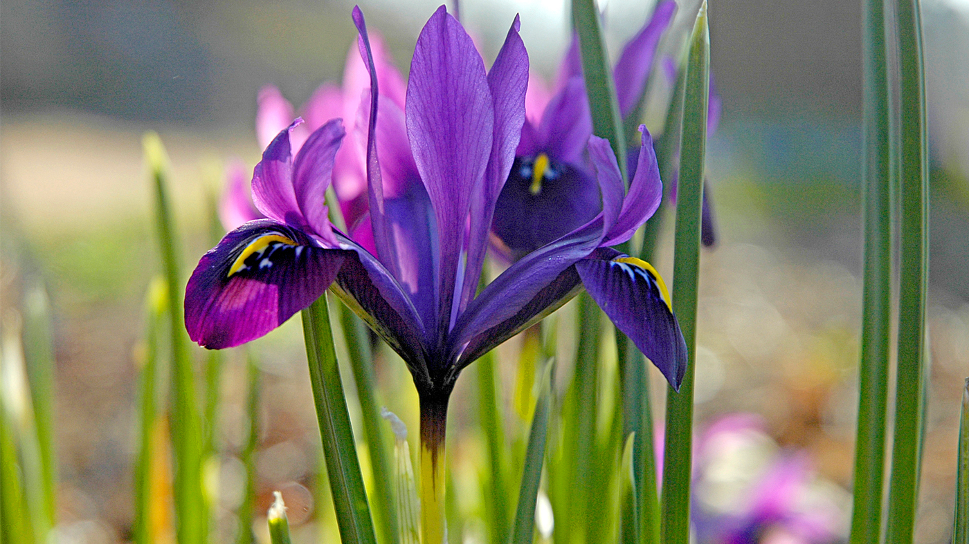
The value of the location of a plant is paramount to effectively manage and protect the plant collections. It is critical that each plant be mapped similar to the tracking of an art object. Mapping is another form of documentation and it is required to help locate plants expeditiously, to safeguard and protect plants from becoming lost, support species verification and assist with classes.
Veronica earned her Bachelor of Science degree in Land Surveying from the University of the West Indies in St. Augustine. Her major was Geographic Information Systems. Upon joining the garden in 2000 Veronica was responsible for creating maps and labels and promoted to full time mapping activities in 2002
Plant Collecting Collaborative (PCC), Chicago Botanic Garden, Missouri Botanical Garden, The Morton Arboretum, New York Botanical Garden, University of Minnesota Landscape Arboretum, Maps for Trip Report-: Republic of Georgia, May 2012 and September 2010. Expedition Route pg 7 and 8. Republic of Georgia and PCC member locations pg 13: PCC included Holden Arboretum-: Northeast China, September 2007. Expedition Route pg 8, Liaoning and Jilin Provinces, China and PCC member locations pg 11.
PlantCollections – A Community Solution Funded by IMLS National Leadership grant in the Building Digital Resources Division, Maps for Posters and Presentations - National and International participants; Wild Collected Acer locations; Wild and Cultivated Spiraea & Quercus locations: 2008
Harry-Jackson, Veronica, 2007. Mapping at Chicago Botanic Garden – GIS/IT Symposium, Presenter, sponsored by American Public Gardens Association and Environmental Systems Research Institute. St Louis, Missouri
Weathington, Tianna, Boyce Tankersley, Veronica Harry-Jackson, Prentiss Sawyer, David Sollenberger, 2006.’ Who Dominates the Gravel Hill Prairie’ Poster presentation. American Public Gardens Association. San Francisco, CA.
Hamm, Kyle, Boyce Tankersley, Veronica Harry-Jackson, David Sollenberger, Pati Vitt. 2005. Monitoring a Chicago Area Re-created Natural Environment. Poster. American Association of Botanic Gardens and Arboreta annual meeting. Chicago, Illinois.
Harry-Jackson, Veronica 2001. Mapping Chicago Botanic Garden using ArcInfo 8.0.2–Presenter sponsored by American Public Gardens Association Denver, Colorado
Tankersley, Boyce and Veronica Harry-Jackson. 2000. Getting on the Map. Public Garden, Journal of the AABGA. Vol 15, No 4. Oct/Nov/Dec 2000. pp 12-15.